


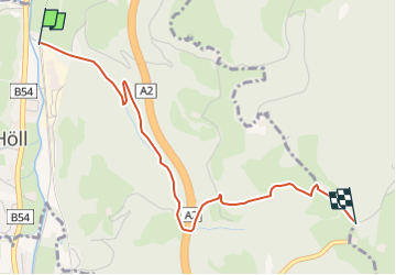

11,2 km | 16,6 km-effort

Tous les sentiers balisés d’Europe GUIDE+


Application GPS de randonnée GRATUITE
 SityTrail
IGN / Instituts géographiques
SityTrail World
Le monde est à vous
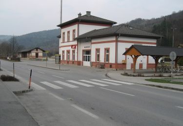
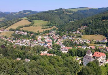
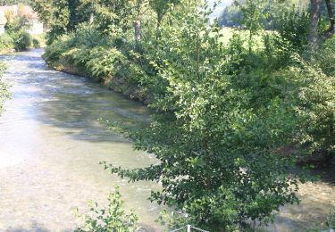
Randonnée A pied de 3,1 km à découvrir à Basse-Autriche, Bezirk Neunkirchen, Gemeinde Aspangberg-St.Peter. Cette randonnée est proposée par SityTrail - itinéraires balisés pédestres.
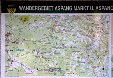
Symbole: roter, waagrechter Balken


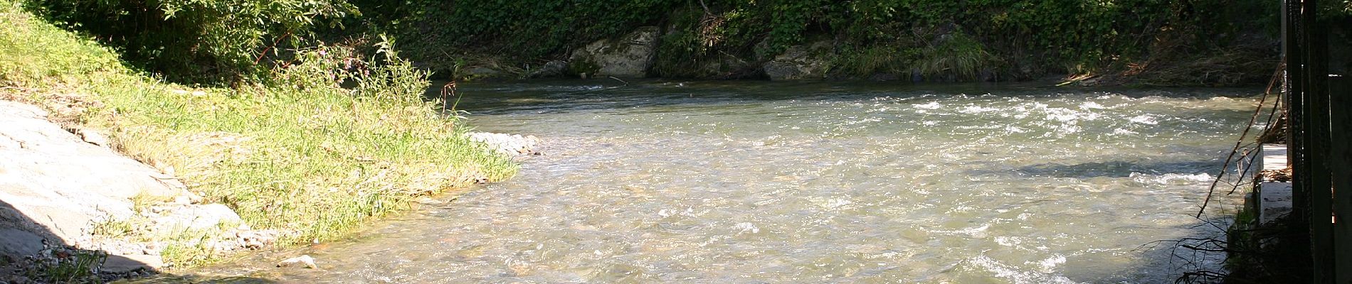
A pied
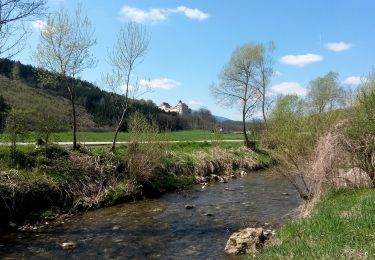
A pied
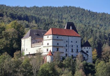
A pied
A pied
A pied

A pied
A pied
A pied
A pied